Bryce Canyon, Grand Canyon, Zion - Utah & Arizona
September 23 - October 1, 2001
 These are my adventures during the Bryce, Zion & Grand Canyon Biking - Premier National Parks of Utah and Arizona - Inn trip offered by Backroads.
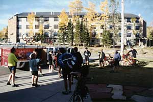
Day 1: St. George to Cedar Breaks shuttle.
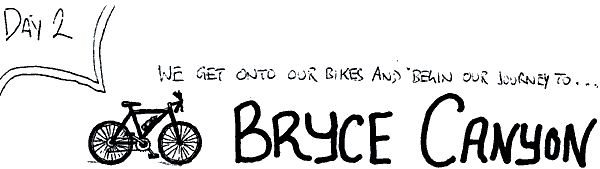
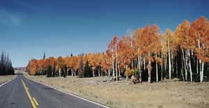
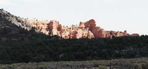
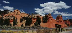
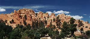
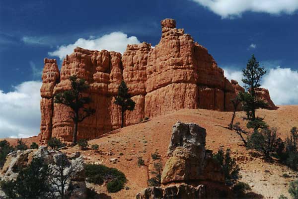
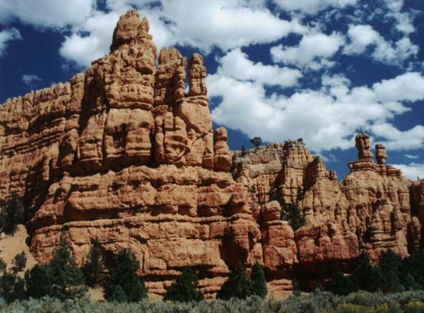
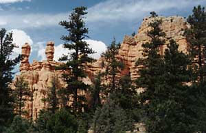
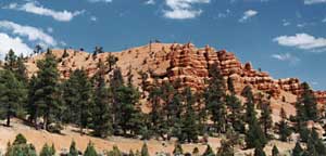
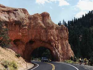
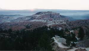
Day 2: Cedar Breaks to Bryce Canyon. (62.1 miles)
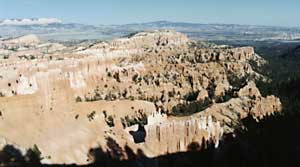
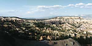
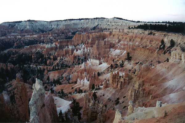
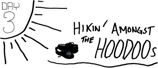
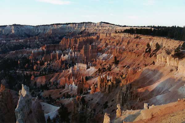
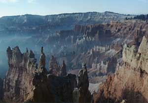
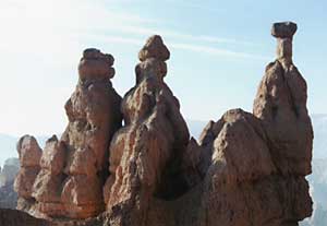
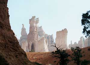
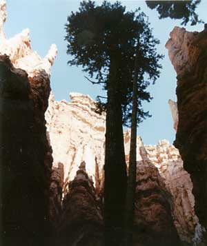
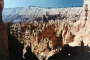
Day 3: Hiking through the hoodoos in Bryce Canyon.
Day 4: Bryce Canyon to Kanab. (79.1 miles)
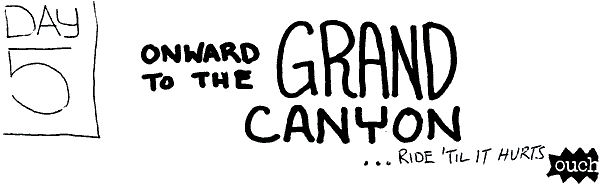
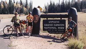
Day 5: Kanab to Grand Canyon. (81.3 miles)
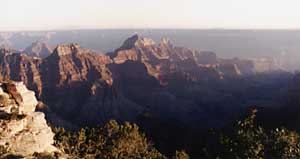
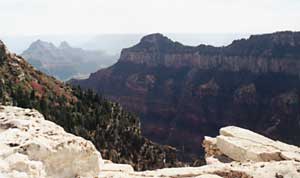
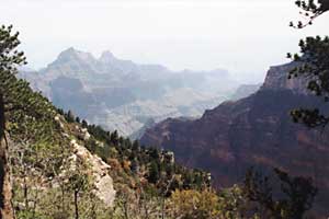
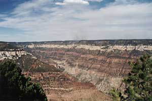
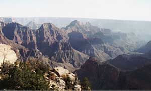
Day 6: Hiking the Grand Canyon North Rim.
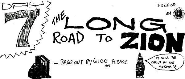
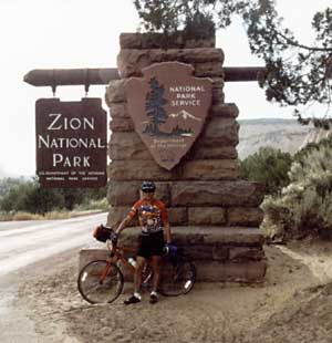
Day 7: Grand Canyon to Zion. (121.4 miles)
Day 8: Hiking Angels Landing and The Narrows and much much more!
Day 9: Goodbyes and departure.
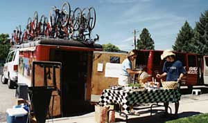
You know, not only are the Backroads leaders experts in nutrition, but they are also artists. For your enjoyment, I have included the artwork of Kara and Niall from the daily route rap pages providing us details about when to wake up, which hotel to go to in the evening and everything in between.
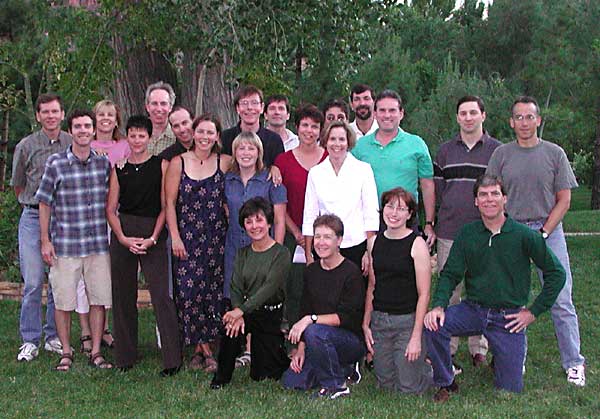
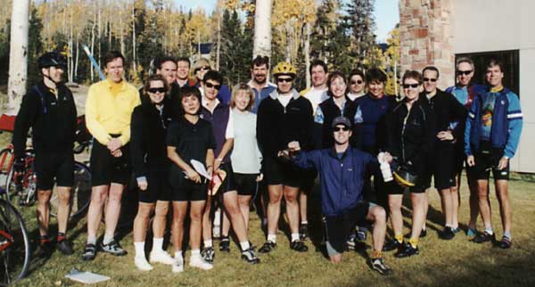
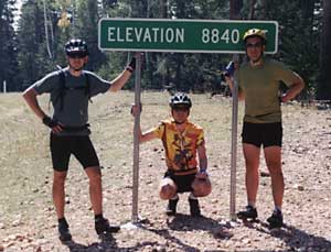
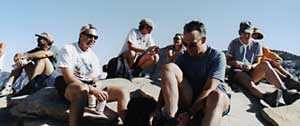
Just one thing...I requested a group photo at the beginning of this trip. I always like to have a "before" photo when we are clean and fresh.

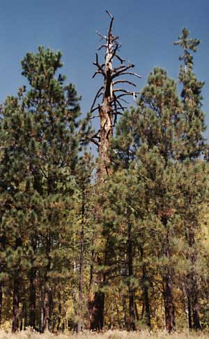
I have no photo of the Bryce Canyon National Park sign which is just down the road past the pine tree because I used the last of my roll of film on this ride on this sign.
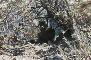
(giant) spider
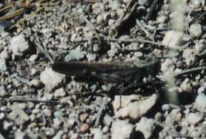
(giant) grasshopper (locust)
(giant) moth
And this is the winner for having the most sanitary bags in the bathroom.


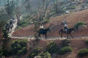
We're only a few minutes into this hike and already a recent leg injury of mine is making these horses seem like a more reasonable way to view these canyons.
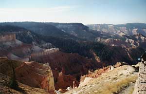
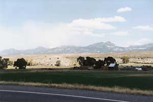
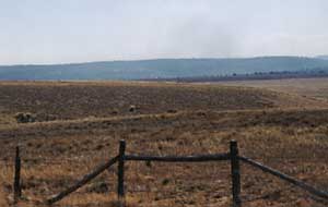
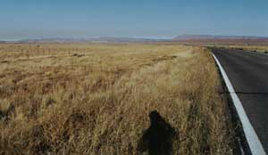
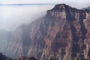
The haze is most likely due to the nearby fires that we rode past on the way here.


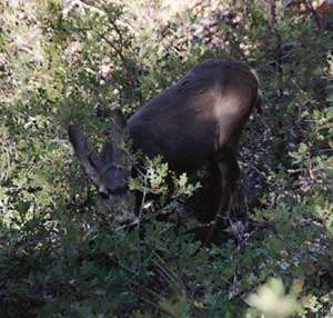
Oh, this is good. Looks like this deer had a head-start over the other deer on trying to find out what those exciting cows were up to.
Time to move on...


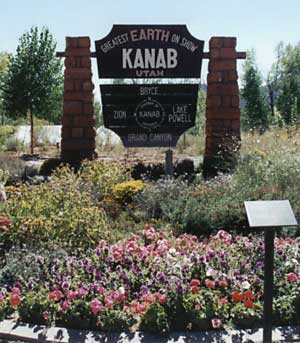
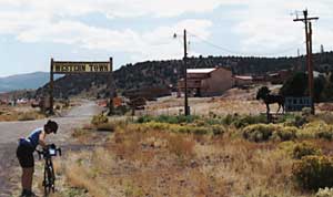
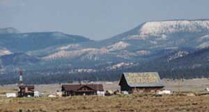
Kanab
Greatest Earth On Show
This display was a little more exciting than the sign for Arizona which I didn't even think was worth stopping for.


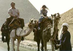
Here I am with my dad riding on a camel through the pyramids in the desert.
Wait a second - sorry about that - this is from a different trip.


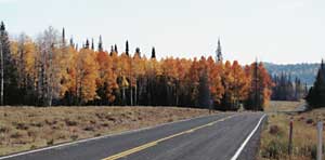
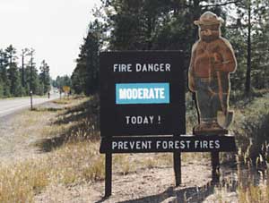
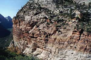
We're out of the desert and moving into Kaibab National Forest.
Kaibab is a Paiute Indian word meaning "mountain lying down."
For reasons explained later, I was nicknamed "Kaibab" on this day.
This is here for artistic purposes only.
Enjoy.

Here's Jim, me (Kaibab) and Rick. We kind of stayed together on this climb because doing this alone would be pretty tough. Niall is taking this photo. He claims he was having a tough time keeping up with me. It was about this time that he nicknamed me "Wile E. Kaibab" because of the jersey I was wearing and the fact that we were riding through the Kaibab plateau. Plus my name is Bob. So put the three together, and there you have it.
I was called "Kaibab" from this moment on.
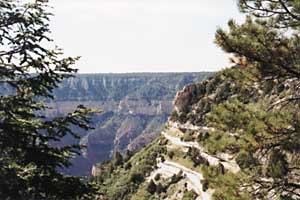
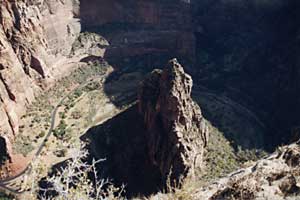
Finally! Just one more hill to go up and then it's down to the Grand Canyon. Well, except for the very last hill up to the Grand Canyon Lodge.
Again, it's Rick, me and Jim. Once again, Niall is the master of photography.
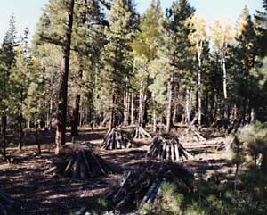
Neatly stacked piles of wood.
I never asked what the purpose of these were. I assume that they are some kind of fire control mechanism. Or they could just simply be piles of wood.
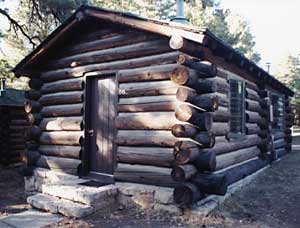

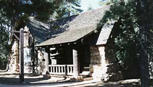
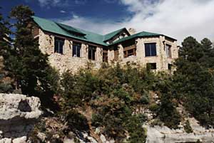
The Grand Canyon Lodge.
This was constructed in the 1920s by architect Gilbert Stanley Underwood who also designed the Bryce Canyon lodge which we stayed at earlier in this trip.


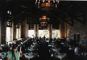
The dining room inside the Grand Canyon Lodge.
Try their hot fudge sundaes here. Mmmm.
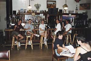
If I hadn't been drinking so much, I would have remembered the bartender's name who was kind enough to take this photo

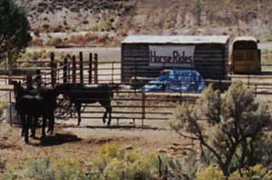
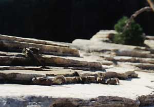
They are made by Rachel's Critters. Original Hand Carved Chainsaw Bears. 265 North 300 West, Kanab, Utah, 435-644-8603.


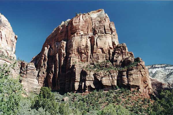
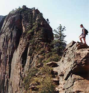
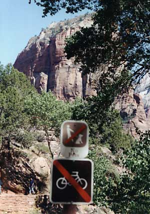
Today is Zion hike day. Two hikes are planned. The first is Angels Landing. Here's the description straight from the "Utah's National Parks" guide.
"Angels Landing is a strenuous hike...the last half mile follows a steep, narrow ridge with a drop-off of 1500 feet. Not recommended for people with a fear of heights. 5 miles, 4 hours"
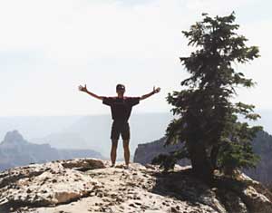
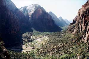
The above photo is a post-hike shot at midday, but let's go back a little in time...
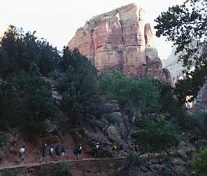
Here's our gang of masochists beginning the long hike to the top. Yes, we are climbing to the top of that big rock.


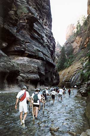
Finally, for those who are still with me, I saved the most interesting for last. Of course, that's only because Backroads saved the most interesting for last.
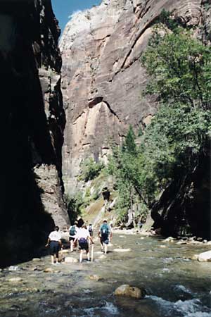
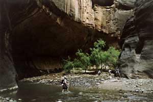
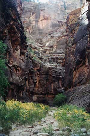
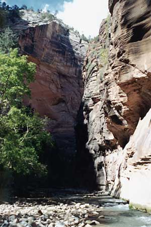
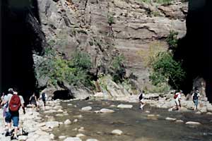
This is the Riverside Walk. In fact, this is beyond the Riverside Walk. This is the hike through Zion Canyon Narrows.
The rocks in this river are pretty darn slippery and I'm a little uneasy about carrying my Nikon SLR with me. I have a Tamrac bag, but water resistant means nothing when it's under water. Fortunately, at the entrance to the water, you can grab a high-tech walking stick (seen here) to aid in balance and locating a good spot to plant your foot.

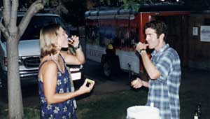
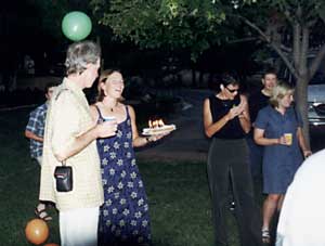
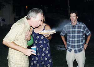
The final night of the trip.
Here are Kara and Niall toasting to another fun and successful Backroads adventure.
In my book, these two were outstanding. I thought they did their best to provide a fun-filled trip without being too invasive.

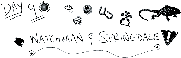
Day 9 was a short day - enough time to grab some breakfast at the Watchman Cafe in Springdale and do a little last-minute shopping. Those who took the afternoon St. George Shuttle to Las Vegas had the most thrilling adventure on the entire trip barreling down the highway in the shuttle at incredibly high speeds. Angels Landing was not for those with a fear of heights. The St. George Shuttle was definitely not for those with a fear of speed!